Will spend time in Acadia National Park.
Saw the top of Mount Washington in clear sunshine as we drove around it. Wish it had been that clear the morning we were up there!
Stopped in Bethel, Maine at a nice Chamber of Commerce Welcome Center where lady helped us with maps.
Stopped at couple of roadside vebetable places. Got corn that was not near as good as Iowa corn or even the corn we got with the Crosby's near St. Catherine, Ontario.
We were just a few minutes behind an accident that had at least 3 vehicles involved and some people apparently hurt.
Came by a Factory for New Balance shoes that had outlet store at Skowhegan, Maine. Lots of shoes -- bought several pair.
This couple was tootling down the road and turned off at a museum.
Set up near Bar Harbor, Maine for at least 4 days, may extend. Not getting out too early this morning. Only drove 245 miles yesterday, but, like lots of Vermont and New Hampshire, not a quarter-mile anywhere was both level and straight. Always climbing - maybe 500 or 800 feet - between one valley and the next. Never going straight east-west or north-south, always trying to get over a ridge, or finding a bridge to get across a river that is at the bottom of every valley. Was on Interstate only a short while
and even it was up-down, round-and-round.
Slept a little late this morning and will start to look around the area. We were told there is a bus that stops here at the KOA and takes us "off the island" we are on.
Just realized was going to post pictures from going up Mount Washington in New Hampshire.
They have about 5 engine-car trains that go up continuously during the day. They still use one steam unit once a day. It came up while we were on top.
Several other diesel units came up also.
We had a partly cloudy morning when we first got there, but after about a half hour the fog (a cloud) moved in.
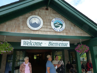
Rather than drive the toll road to the top ($32) we elected to take the guided tour in a van ($60).
The 8 mile road raises some 4,400 feet and is very steep. When we were getting ready to come down a 80-year old man approached our driver about getting someone to drive him back down - he didn't think he could handle the narrow road and the heights.
Vans left as often as they got enough passengers signed up.
People in our van were from Ontario, Canada and west Pennsylvania. One couple had been here many years ago and were taking their grandson up this time.
Our driver, Mike, has been doing this for 24 summers. He spends winters in northern Idaho teaching skiing.
At a museum on the west side of the mountain was display about the cog train. This shows he huge gear that rolls on the "chain" solid between the tracks.
Track workers would slide down the track sitting on this board slide to examine the track.
Yes, it says they could come down the 3 miles in 2 minutes and 45 seconds. Normally they used the boards to slowly come down, examining the roadbed, track, etc.
Was told that the day before we were up there they had 50 mph wind gusts so was much less comfortable than when we were there. It was in the 50's when we were on top. Day before wind chill was in the lower 30's.
We are at the top!
Visibility was pretty good when we first sited this steam engine on the way up. By the time it got to the top visibility was down to 300 feet.
This marker is at the top.
All photos of the mountain trip are on my Picasa Album HERE
Later, Lynn


.png.jpg)
No comments:
Post a Comment